Our Founders – Bill & Joyce
September 3, 2025
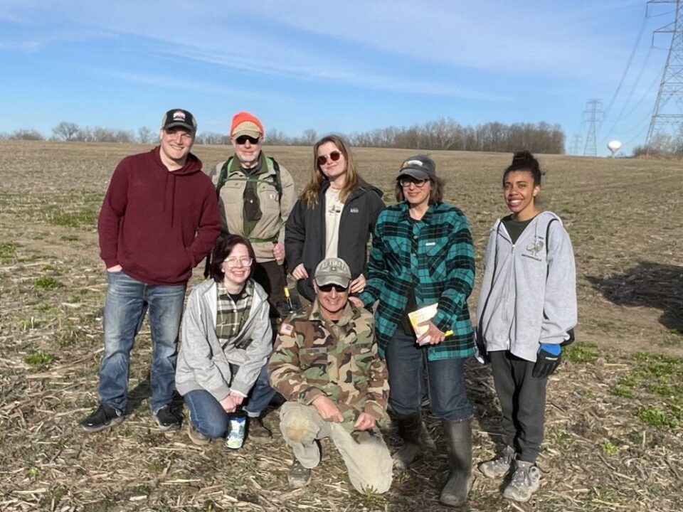
Forty Acres Added to Two Glaciers Park
September 4, 2025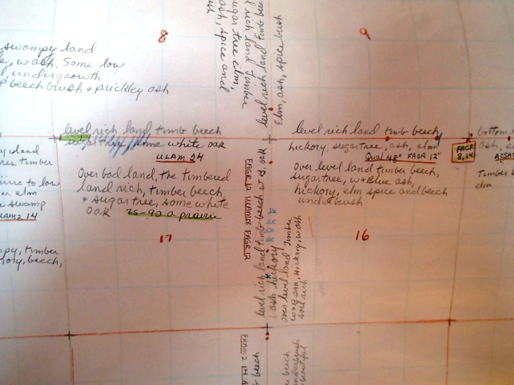
Comments Transcribed from a Historical Document
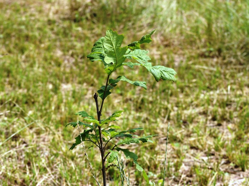
Hague Foundation turns to the past in order to push forward. With the mission of removing invasive plants coupled with restoration, historical documents and research were used to determine what plants and animals lived on the ground in Hague Nature Preserve prior to its present condition.
After the revolutionary war, Ohio was surveyed by different methods in different regions of the state. Fairfield County was surveyed under the Land Ordinance of 1785 which established a rectangular survey. Six mile squares become townships containing 36 sections. As the surveyors ranged across Fairfield County with chains and transit to measure distance and direction, they would record witness trees at each section corner and comments about the land along the way. Usually the comments were about the vegetation, soils and topography, as they could best name and describe.
The documents are maintained by Ohio History Connection. The photograph represents comments transcribed from the original language along with out coding on the witness trees for four sections in Violet Township. From this document we can start to build a picture of the past.
Records are found at Ohio History Connection’s Archives & Library: Land Records.
